
The Great American Road Trip - Chapter 6
by Michael S. True
June 23 – 29
It was with a heavy heart that I said my goodbye to Pat and Hanna. The van was loaded and ready to roll as I departed about 10 a.m. on a Monday morning. Before I knew it I was passing through the agricultural valley just outside of Watsonville, veering off of highway 1 and onto a two-lane road, state road 129, that would take me, once more, across the Coastal Range and into what I have often referred to as the “salad bowl”.
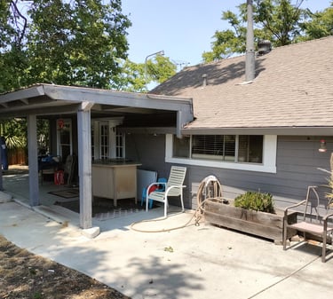
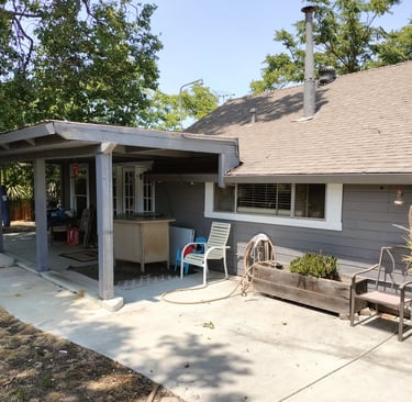
Upon undertaking my journey south, I had decided to take a short side-trip to a former home in Hollister, California. I had lived in the Hollister Hills just east of this bedroom community from 1990 until 1996. The property belonged to the DeRosa family and I was curious as to what it looked like now. About a half-hour after making my way through the winding roads I found myself at the old wine-maker’s cottage. In a brief encounter I greeted the owner, who was very fond of restoring classic cars, in a garage on the property.
I then learned that a former friend, who once lived and worked nearby was no longer there. The cottage itself had been renovated. Time always changes things but I still cherish the memories of those days gone by.
Hollister house 1990-1995 remodeled since…
Departing there, I made my way back to highway 101. I wanted to savor the coastal scene again so I headed for Monterey and the famous Highway 1, once more. I had hoped to traverse the coastal highway all the way to Los Angeles.
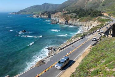
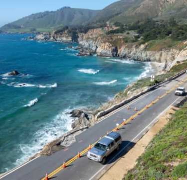
However, my plans were thwarted, once more. Damage being repaired on the road had it closed just south of Big Sur, a well-known tourist draw some fifty or so miles south of Monterey. This is some of the most beautiful seascape in the world, and though I knew I was clearly going to have to go down and then retrace my path back to Monterey, I ventured on undeterred.
Highway 1 to Big Sur (stock photo)
By mid-afternoon I was back on U.S. 101 and heading south. Although not near as scenic as Hwy. 1, it was a straight through shot to L.A. I made it as far as Ventura where I located another Walmart parking lot for my sleepover.
The next morning, I topped off my gasoline and got a coffee and breakfast burrito before heading into downtown Los Angeles. I have never gone through this city without the understanding that no matter which route I would take, I would always face an unrelenting amount of traffic. This excursion was no different.
Following 101, as it threaded through the city, I would make my way to Interstate 10, continuing southward. That eventually connected with Interstate 215 which then got me to state road 74.
Ultimately, I was looking for the little village of Idyllwild, while trying to navigate these never-previously driven roads. Idyllwild is a tiny town way up in the San Jacinta Mountains just to the east of Los Angeles. It is not a marked exit from any of the major thoroughfares I had taken to make my way towards it. Just finding state road 74 was a challenge.
But here’s the kicker, once on 74, I failed to see a tiny sign indicating a side road that would actually get me there. It was hot, temperatures in the 90’s, and bone dry. The road was narrow and winding and in places I could see the burnt remnants of bushes and trees that had been charred by recent fires. There were many signs along the way warning of a high fire risk.
It took well over an hour to make my way over this particular mountain range, only to realize I had passed up my turnoff. Eventually I made my way to a place called Thousand Palms. Due to life-giving water from a nearby reservoir, a modest amount of greenery covered the landscape.
Thousand Palm – a drive too far
Still, I knew that I would have to make my way back up and over the ridge to get to my final destination. I stopped to get something to eat before reluctantly retracing my steps. Hot and tired I finally made my way to a friend and fellow musician’s house. Patrick, his significant other and her daughter lived happily in this quaint mountain community. Pat had moved to Idyllwild from New Orleans several years ago. His parents, also good friends, returned from a short stint in that same area before returning to the Crescent City just a couple of years back.
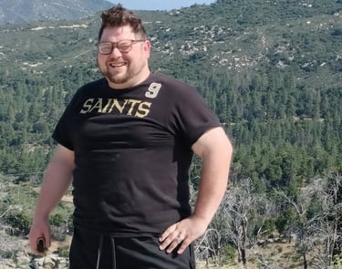
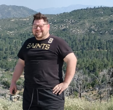
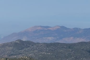
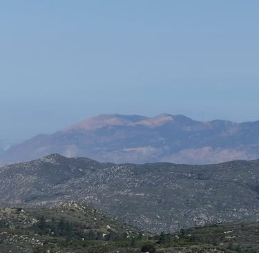
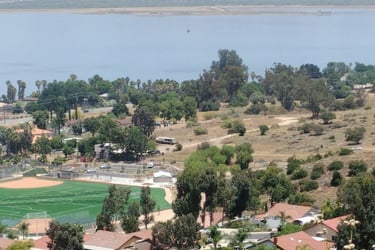
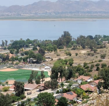
Unfortunately, I couldn’t stay more than that evening and through the next morning before having to get back to making my way to Louisiana. Patrick had a little time before having to be at work to drive me around the little village, eager to show off his new digs. It had a reputation for being one of the best mountain destinations in Southern California. Unique houses and shops abounded. Also, there were some spectacular views from the height of the mountain ridge on which it was located.
View from Idyllwild overlook
Happy that I was able to see my young friend and his family, if only briefly, I was glad I had decided to add this leg to my trip. My next destination would be the Grand Canyon National Park.
Leaving Idyllwild, I followed a winding two-lane road out of the hills and over to Banning. Patrick said it would reduce my travel time to the major artery, Interstate 10, which then led to Interstate 215, and then on to I- 15 which would intersect Interstate 40 at Barstow, California.
Focused on traversing as many miles as possible, I drove with a purpose that day. I paused only long enough to grab a quick lunch and refill of gasoline at the Barstow junction before launching myself like a slow burning rocket, down Interstate 40, continuing my eastward run.
In all of my cross-country travels, and on several excursions that actually took me across Interstate 40, I had come to within sixty or seventy miles of the Grand Canyon National Park but had never actually seen the canyon with my own eyes. I would now make my way across the dusty brown expanse that was the Mojave Desert to finally see that world-famous natural wonder. Joshua trees, cactus, and sage brush eventually faded into a seemingly endless stretch of flat and almost featureless landscape.
As I drove on, I was reminded of the ancient desert caravans of the mid-eastern Arabic nations. This narrow ribbon of highway, as Woody Guthery once penned, was one of few routes to traverse this arid expanse. For long stretches there would be no radio stations to tune into so I spent a fair amount of time focused on the flow of cars, semi-trucks and trains that followed this narrow corridor that would take me across the heart of Arizona and eventually through New Mexico, the Texas panhandle, Oklahoma, Arkansas. The sight of passing vehicles gave me some minor assurance that I was on the right track. Otherwise, the journey might have made me feel a bit more vulnerable, as towns, and more importantly, gas stations were few and far between.
I had noted at the beginning of my trip that I expected fewer large transports of goods due to the impending tariffs that had been enacted by the President. In fact, it seemed that there was far more activity than I had envisioned. Later, I would come to understand that there was a pre-tariff rush to stalk up on goods, and thus an increased presence of the large vehicles. With virtually unrestricted speed limits, these behemoths would be rushing past for the remainder of the way back to New Orleans. Constantly dodging semi’s was not a game I enjoyed playing.
Mojave Desert Interstate 40
Pushing my own physical limits, I would make my way to the western cutoff road to the Grand Canyon National Park, state road 64, just east of Williams, Arizona. Here I felt the need to get a good night’s sleep and again opted to stay over in a local motel.
Rising early the next morning and grabbing a couple of items from the morning buffet, I made the sixty-mile trek to the rim of the canyon. I remember thinking, as a child, how wonderful it would be to be an astronaut. To dare to cross the far reaches of space and to see and explore incredible new landscapes. This side-trip gave me that exact sense of anticipation.
Entering the park, I was prepared to pay whatever toll was necessary. Instead, after offering up my senior status and veteran’s status in hopes of a discount, the young lady working the ticket line smiled and said, “This is even better,” offering me a license-sized lifetime pass afforded to veterans that would allow for free access to any Federal Park in the country for life!
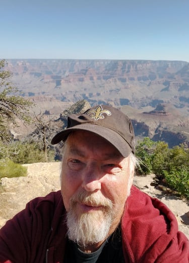
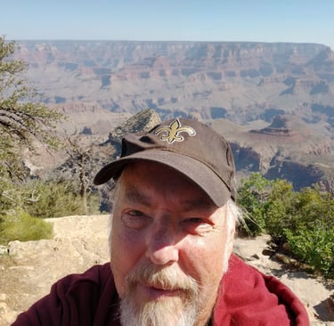
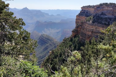
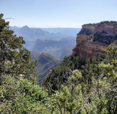
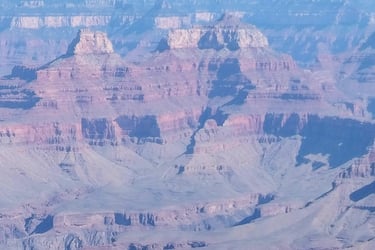
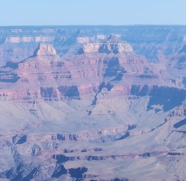
Within five minutes I was at a pull-out for my first look at the canyon. It was breath-taking. I have seen so many wondrous sights in my day. This place was, indeed, like no other.
First view Grand Canyon - I was there!
the Grand Canyon
the Grand Canyon
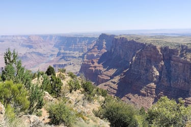
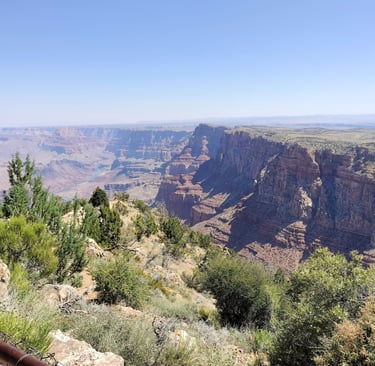
Grand Canyon Grand Canyon – east end
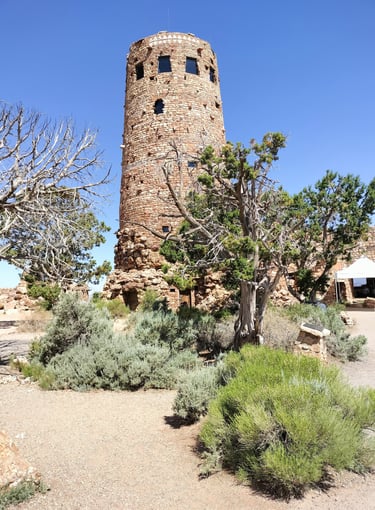
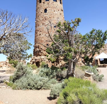
old observation tower
After a few hours of drinking in this amazing panorama, taking a slew of pictures and a couple of videos, I had made my way to the eastern end of the canyon. Every pull-off along the way had offered another spectacular view. As dry as it was, I also took note of the wide variety of plant life that has managed to adapt to this extreme environment. Although I didn't see much in the way of large animals, (spotting only one young fawn along the way), I noted a variety of insects, as well as, the occasional hawk taking advantage of the canyon's updrafts to hover, almost effortlessly in the mid-morning skies.
As I exited the park, I noted various signs that announced the presence of Native American territories or reservations. Later I would discover the Navajo Reservation bordered the park. It was also home to the Arizona Painted Desert which I had seen in past journeys across this part of the country.
Eighty miles later I was back on Interstate 40, once more heading east. Knowing I only had a few days left, I determine to drive as far as I was able for the remainder of the day.
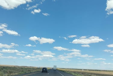
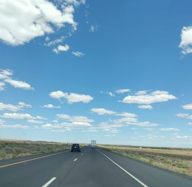
Even though I had driven hundreds of miles across Arizona and made my way through a good bit of New Mexico, it would be misleading to say that this portion of my drive was scenic. The sky was a fluorescent blue with little white puffy clouds but that was about it for any photo ops along the way.
From mid Arizona to Santa Rosa, New Mexico, where I stayed the night at a highway rest stop, the only real item of interest were the various signs indicating the stomping grounds of dozens of Native American tribes. This marking of indigenous territories went on along I-40, even as I would eventually make my way across Arkansas.
New Mexico – partly cloudy
The next full day was pretty much the same. Traversing the remainder of New Mexico and then making my way across the Texas panhandle and the state of Oklahoma was tedious, to say the least. In the oil-rich states of Texas and Oklahoma I was surprised to see some large wind farms and the occasional field of solar panels. Overall, however, there was little of interest to the would-be tourist. Brief stops for food and gas would punctuate the otherwise monotonous drive.
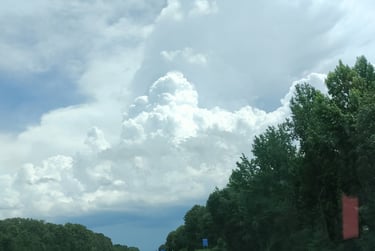
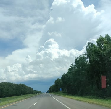
Having just passed through Oklahoma City, things took a slight turn for the worse. Huge billowing clouds appeared. They seemed to be heading east, as was I. About a half hour later I caught up to the back side of the front. The skies darkened significantly and the rain began pouring down. The month of June had seen a rise in slow-moving torrential rain storms.
As I made my way toward the Arkansas border, traffic on the freeway began to slow down. Headlights came on before dusk and windshield wipers were set on high. It wasn’t until two hours later that the clouds and I diverted paths.
In my planning for this trip, I had added a stop in Arkansas. I had seen a news clip of a relatively new museum of art in the northwestern part of the state. The Crystal Bridges Museum of American Art, had been built by one of the heiresses to the Walten family, (Walmart), fortune. It was said to be a very scenic and modern facility with an emphasis on American artists.
The rain had significantly abated when I passed nearby Ft. Smith on the Oklahoma/Arkansas border. Another 50 or so miles put me at the base of I-49 heading north. Tired and looking for a good night’s rest, I made my way to a motel just off the highway in Fayetteville. This would allow me an easy drive to Bentonville, the actual location of the museum, the following morning.
Up and out by 9a.m., (which is early for me), I slowly navigated the tiny country road leading to the museum. Again, my GPS tacker was of little use to me. Again, I did my little sight-seeing tour, turning, at first, the wrong way.
After two miles, I pulled over and turned to the Arkansas page of my Rand-McNally map. The tiny state road line seemed upside-down to my reality. The foliage was thick and green on both sides of the road with a hint of some suburban buildup here and there. There were no obvious landmarks. I turned around. The turn-off drive to my destination was to the left, of course.
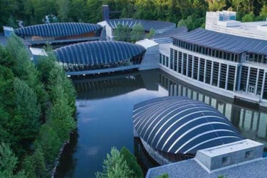
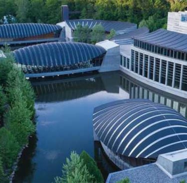
Traveling down this little side street, I took note of the community which supported the museum. Everything was noticeably well kept, parks, external buildings, apartments and homes. The museum itself was built over a winding stream, giving it extra charm. The architecture was sleek and certainly felt out of place for this little Arkansas community. Alice Walton, who spearheaded the development of the museum had said that she hoped to bring some culture to the Walton family home-town.
.
The Crystal Bridges Museum,
Bentonville, AR (stock photo)
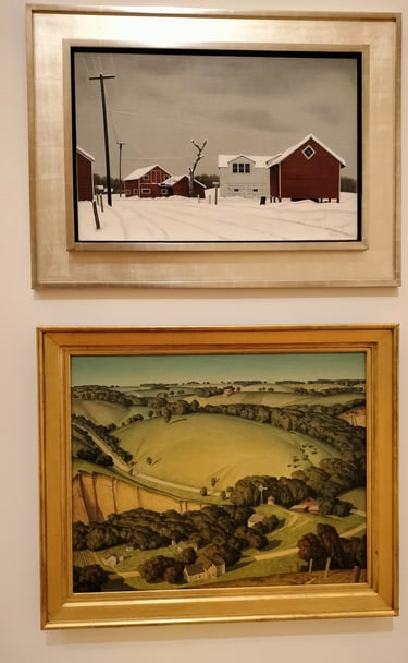
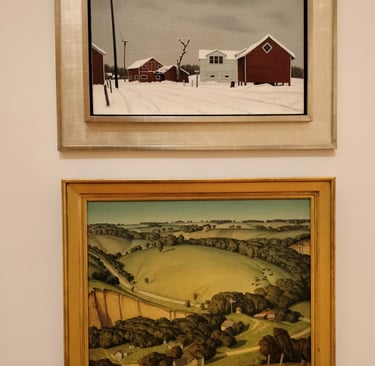
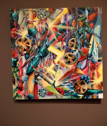
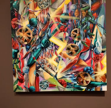
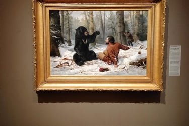
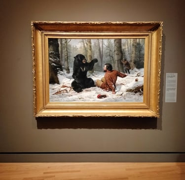
Although so much smaller than the Smithsonian National Museum of Art, the emphasis on American artists was intriguing. I spent about two hours making the rounds and taking pictures. Personally, I thought it was worth the detour.
Crystal Bridges Museum Crystal Bridges Museum
Crystal Bridges Museum
It was still before noon when I left the museum, so I opted to put in some some time on the road. Several hours later I stopped by a diner that was still serving breakfast. The waitresses were really nice and I ate my fill: eggs, toast, hash-browns, and a pork chop with coffee. I really wanted to hold up, take a nap, but I opted to push on down Interstate 40.
Within minutes of me getting back on the highway, the rain came again, This time with a vengeance! This storm, laced with thousands of lightning strikes, followed me across the remainder of Arkansas and into Memphis, Tennessee. Although the sky had become prematurely dark, the rain slacked just enough for me to make my transition to Interstate 55 south.
Oklahoma to Mississippi… Torrential rains
However, within matter of only a few miles, the sky erupted in a torrential rain once more. Everyone on the highway had reduced their speed to around thirty miles an hour or less. Our windshield-wipers barely revealed a highway that was quickly fading into the stormy darkness. The fear was that someone would either slam you from behind or stop suddenly in front of you. You really couldn’t see more than a few yards ahead of your vehicle.
The rain was unrelenting and forced me and many others to take exits into small unfamiliar towns, in order to park and hope for the passing of the treacherous weather. I ended up doing this three times. The storm lasted for hours, stalling out overhead, producing a deluge to rival that ancient Biblical disaster. Someone, somewhere was surely rushing to build another arc.
The third time I pulled off of the freeway was near Southaven, Mississippi, I stopped for some food and topped off my gas tank so as to make good the final leg of my journey the next day. On this Saturday night I was tired and frazzled to say the least. Luckily, there was a nearby rest stop and I happily called it a day. Listening to the ongoing rumble of thunder, now slowly fading into the distance, I soon fell asleep in the back of my van.
Rising early the next morning I made my way back onto I-55 south. The skies were cloudy but clear of the torrential rain that had previously plagued me. I was on my way home.
After 49 days I had come to the end of my great adventure. I had a chance to visit and “catch up” with friends and family from around the country. I had gone places and seen things that I had never done before. There were the usual trials and tribulations associated with such a long journey.
My pre-planning had served me well. Overall, the fact that I either stayed with friends or relatives or camped out in my van, proved to reduce the cost of the trip significantly. With the exception of the west coast, gas prices averaged around $3.00 a gallon. All-in-all I drove approximately 10,000 miles. My van was the trusty steed that I had hoped it would be.
I told people, once I had returned safely to my sweet home New Orleans, that it was a bit like sailing solo across the Atlantic Ocean. The full spectrum of emotions including love, loneliness, awe, and terror came along for the ride. But that is just the way “great adventures” are supposed to be.
(C)2025 Michael S. True - published by TruEnergy Enterprises
With Patrick Pearson, Jr